Double Divide Ride
June 15, 2012A bicycle loop from Missoula crossing the Garnet Range and Rattlesnake Divide
A couple of weekends ago I heard about a group ride from Missoula that traversed the divide between Clinton and Potomac following a maze of old logging roads. The route favored cross bikes by riding pavement to Clinton and returning on highway 200. I was very intrigued by a possible route through the Garnet range but the cold wet weather combined with the prospect of being the only one riding a mountain bike kept me home. However, a couple of days later a friend sent me a GPS track of the route that promised to serve as a guide through the maze for a solo endeavor. Favoring dirt over pavement I headed east out of Missoula on the Kim Williams trail opting for the twisty singletrack alongside the river. From there I followed the TNR “Alp de Turah” route for a dirt road option into the town of Turah and then joined the frontage road for the spin into Clinton.
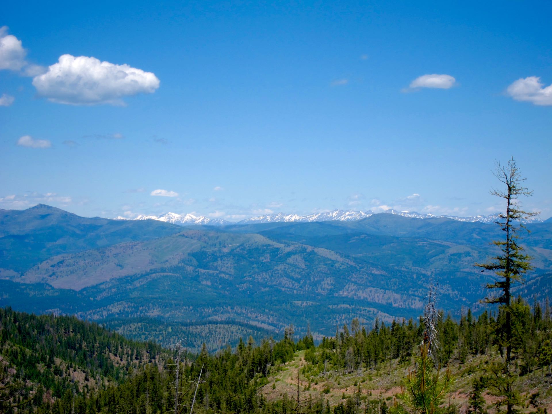
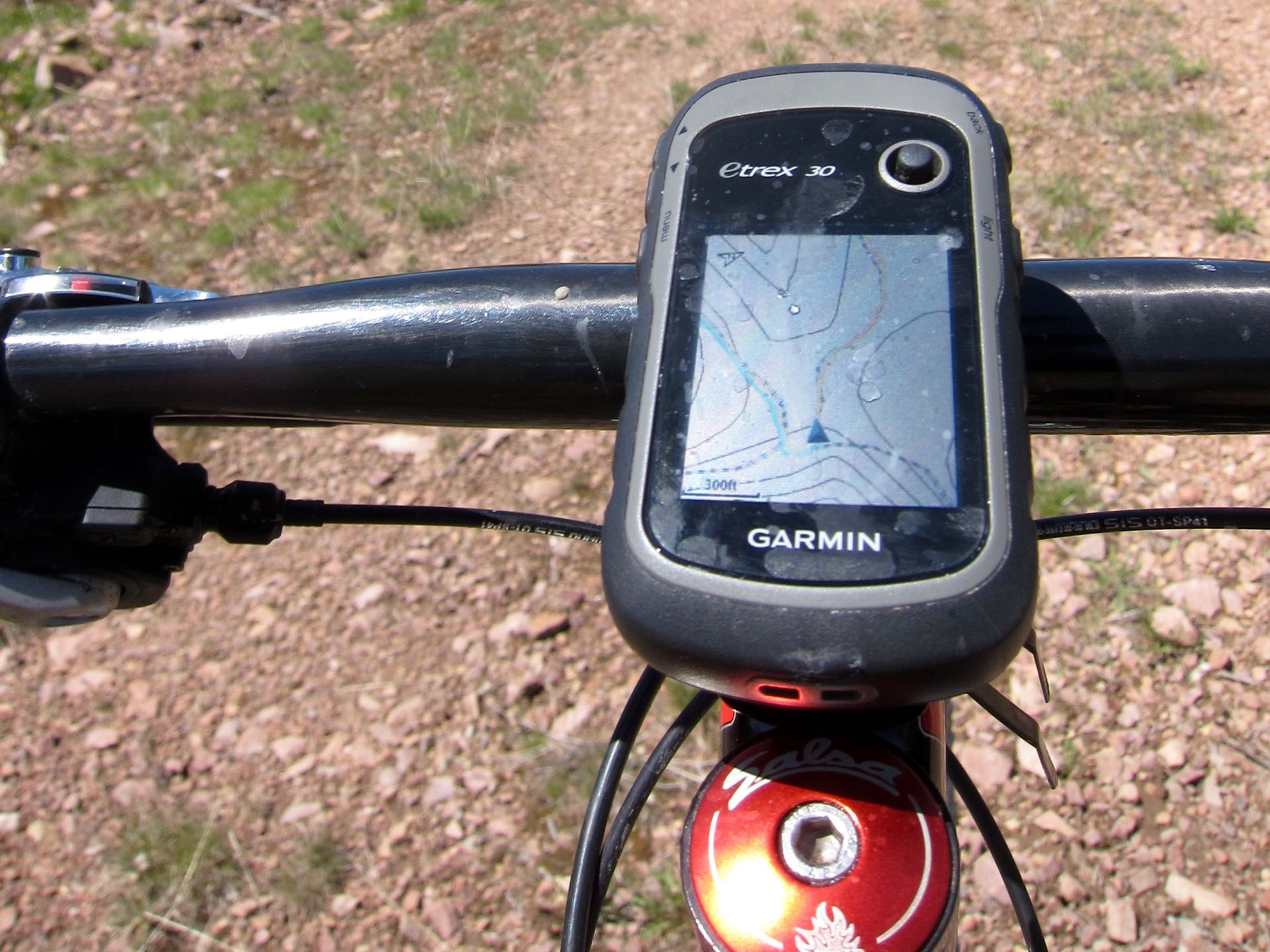
The Garnet crossing starts by following an obvious road up the Dirty Ike Creek drainage climbing sinuously with good views of the drainage and the mountains to the south as you gain elevation. After crossing the Garnet divide the route was less clear and I consulted the GPS track regularly. This was my first chance to try navigating with the GPS mounted on the stem of the bike and it worked wonderfully. At each intersection I would glance down and check which way the yellow track went.
As the views opened up to the north I reached a gate that meant the end of regularly traveled roads. The route down to Potomac was fast and fun with a couple of little climbs thrown in the break things up. Before long I was on pavement touring through the town of Potomac looking forward to a break and the recently re-opened Potomac convenience store.
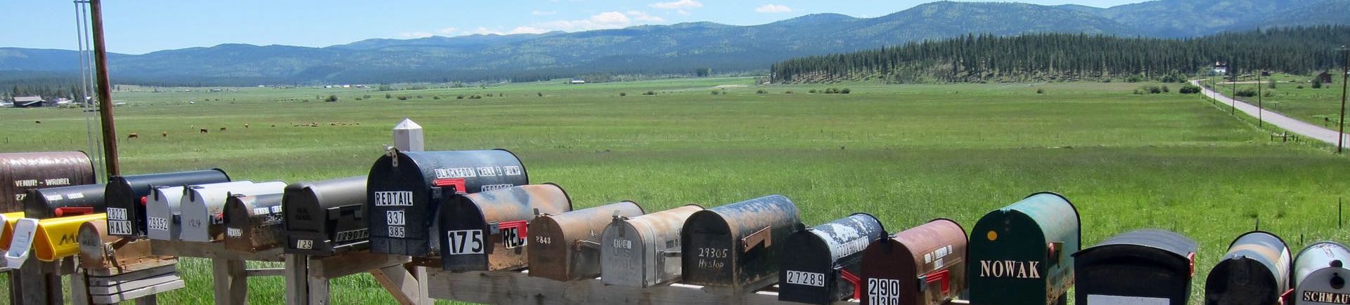
Visions of a Tour Divide style refueling stop featuring salty and sugary snacks had been dancing in my head all morning, the type of food I rarely eat. I was disappointed to find no peanut butter cups and substituted some variation of Snickers bar that had peanut butter along with an overly large bag of Fritos and a Mountain Dew. I consumed the candy bar, soda, and a fair number of Fritos before hitting the road again. It tasted good at the time but my stomach felt a bit off the rest of the day. Maybe I need more practice eating this kind of stuff?
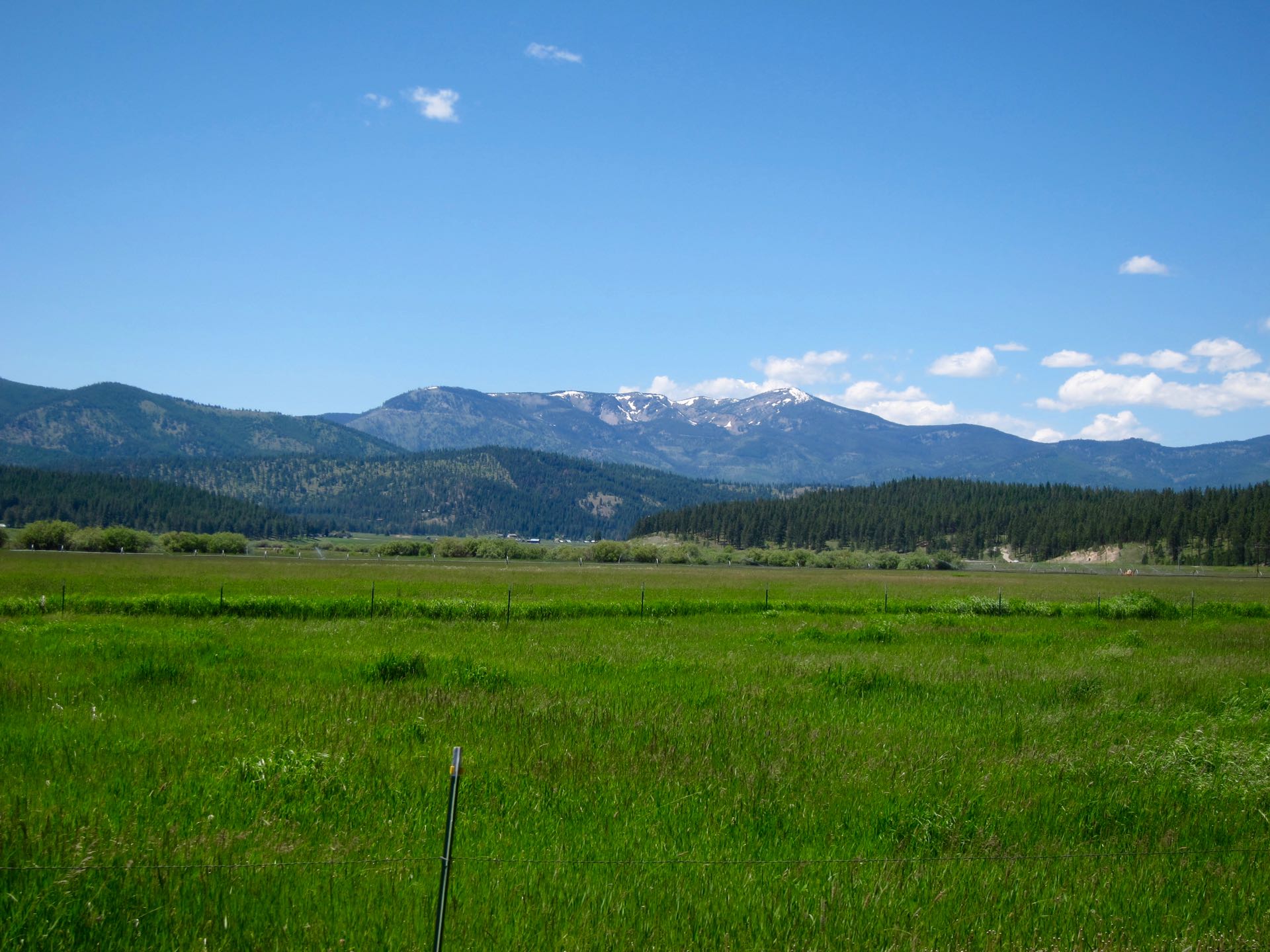
For the third leg of this route my plan was to climb up to the Rattlesnake divide from Gold Creek, descend on the East Fork trail to Franklin Bridge, and then cruise back to town along the main corridor. This was my first time in Gold Creek and from looking at the map the maze of roads looked even worse than the Garnet Range. I even created a track to follow to ensure I could find the trailhead. This proved to be largely unnecessary because the main road is easy to follow with almost all side roads being gated and overgrown. The dirt road climb was pleasant with nice views of the Gold Creek area, Potomac valley, and the Garnet range that I had crossed earlier in the day. I’ve ridden the east Fork trail a number of times either going to or returning from Sheep mountain. However, its a long ways from anywhere so I probably ride the trail in its entirety once or twice a year. I had been so locked into following the GPS all day that I continued to try and use the trails displayed on the base map as a guide, deferring to them over my memories from previous rides. This proved to be a mistake as I backtracked on what was the right direction and ended up on a little used alternate trail to Sheep Mountain. This quickly landed me in blow down hell. After realizing the error it took me a long time to travel a short distance to get back on track.
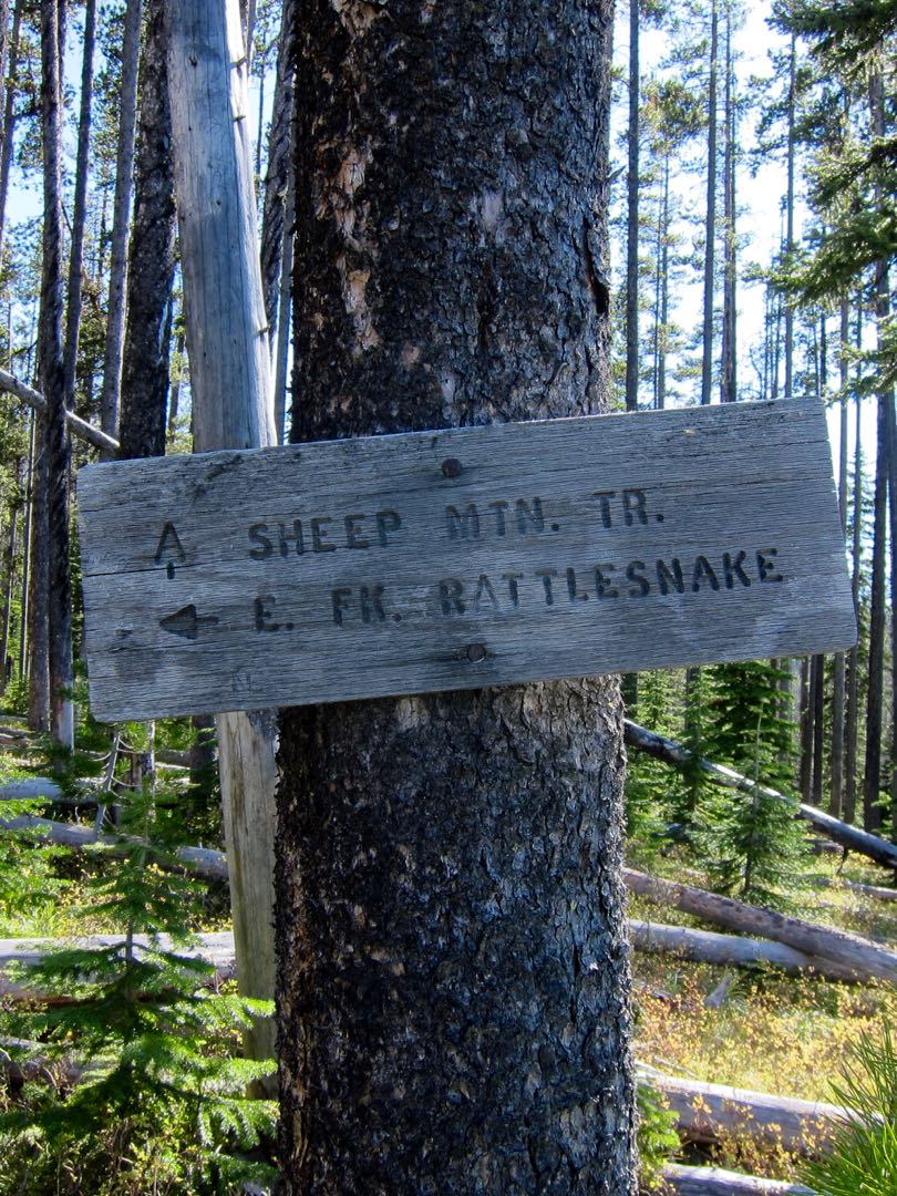
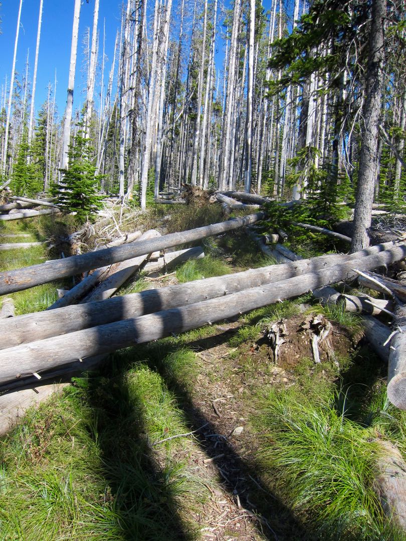
The East Fork trail is never easy. It’s rocky, rooty, infrequently traveled (especially early in the year), with the vegetation and streams constantly trying to reclaim the trail. The streams were higher than I have ever seen them. A couple of times I thought I had made a wrong turn into a small creek only to realize that it actually was the trail. When you finally pop out onto the main Rattlesnake corridor trail the hard work is done. It’s still 8 miles to the trailhead and a few more back to town but the riding is fast and easy.
A good way to spend a day!
- Distance: 82 miles
- Vertical: 7400 feet
- Time: 10 hours